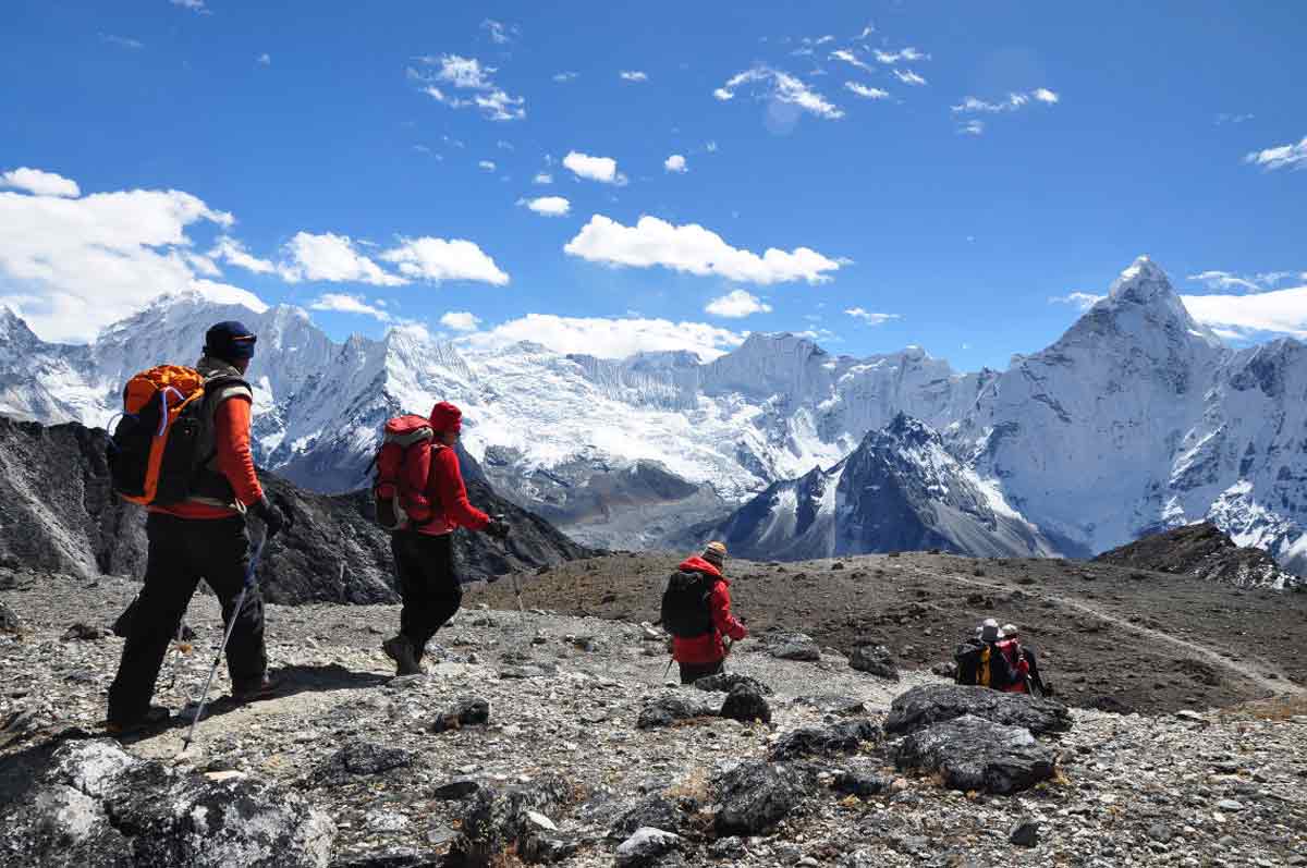
Kangchenjunga Base Camp Trek
Kangchenjunga Base Camp Trek
The less travelled far eastern Nepal has a huge attraction: Kanchenjunga, the third highest mountain in the world. Three weeks in this remarkable wilderness where few trekkers go; a land of rhododendrons, endangered species and home to the Limbu and Sherpa people, is where you want to be!
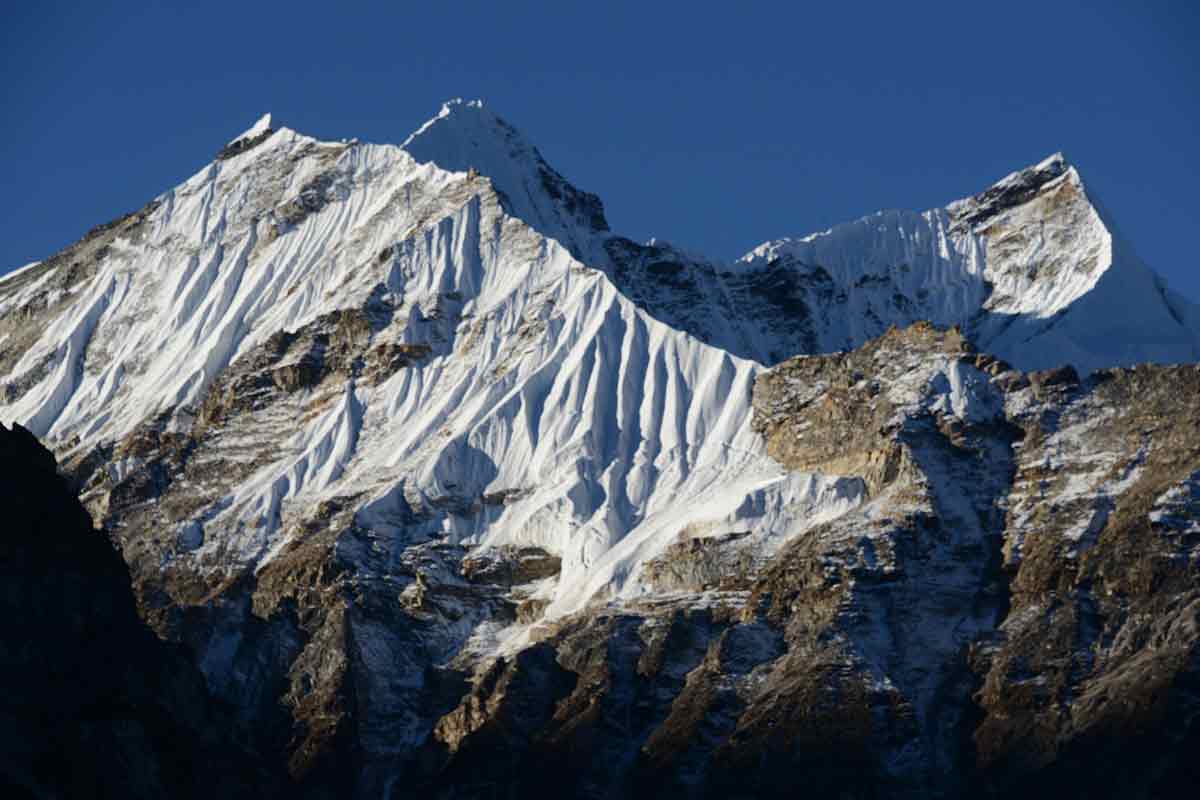
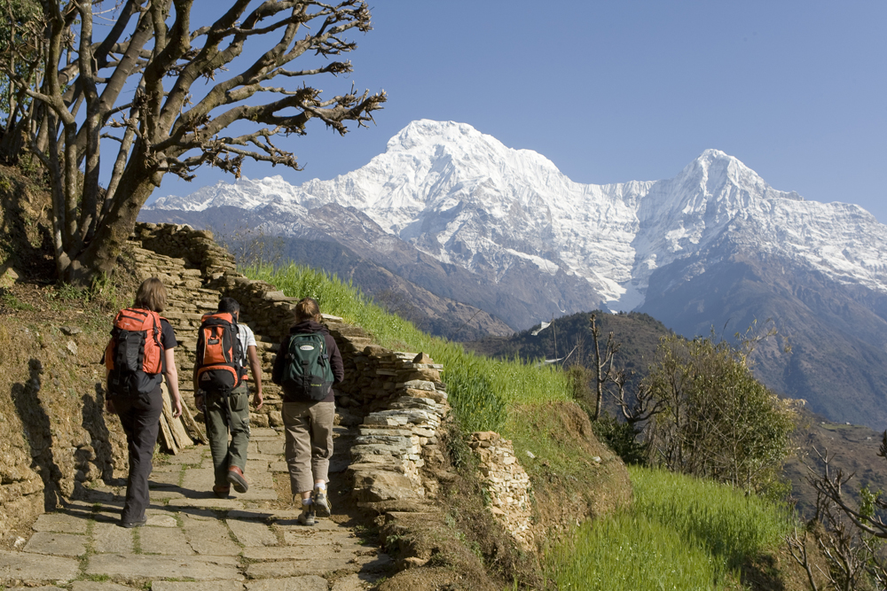
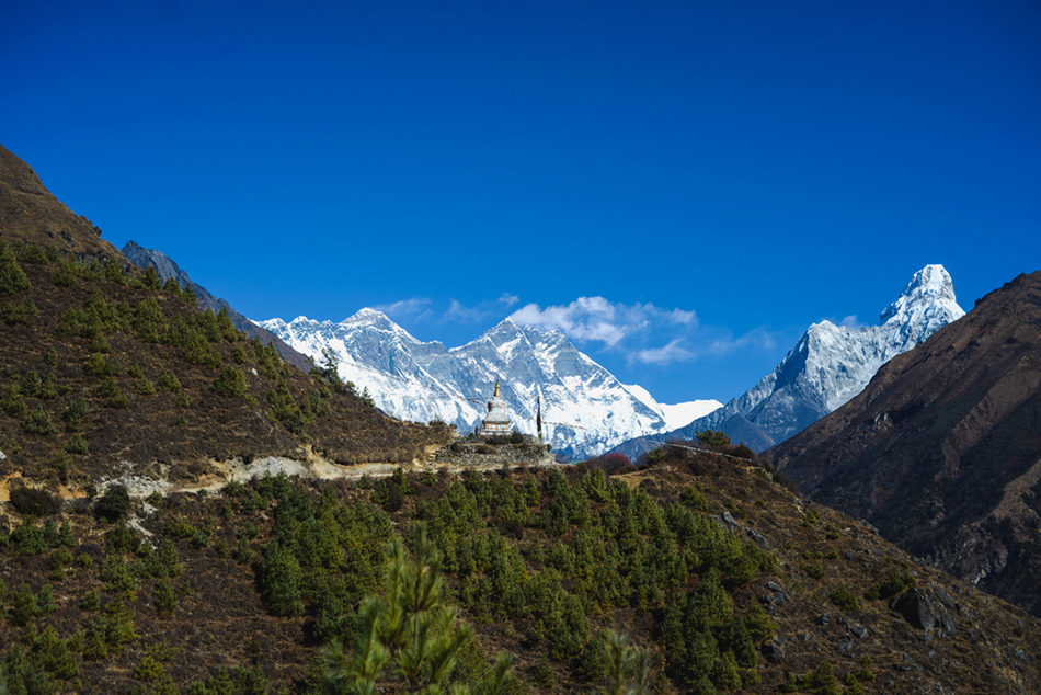
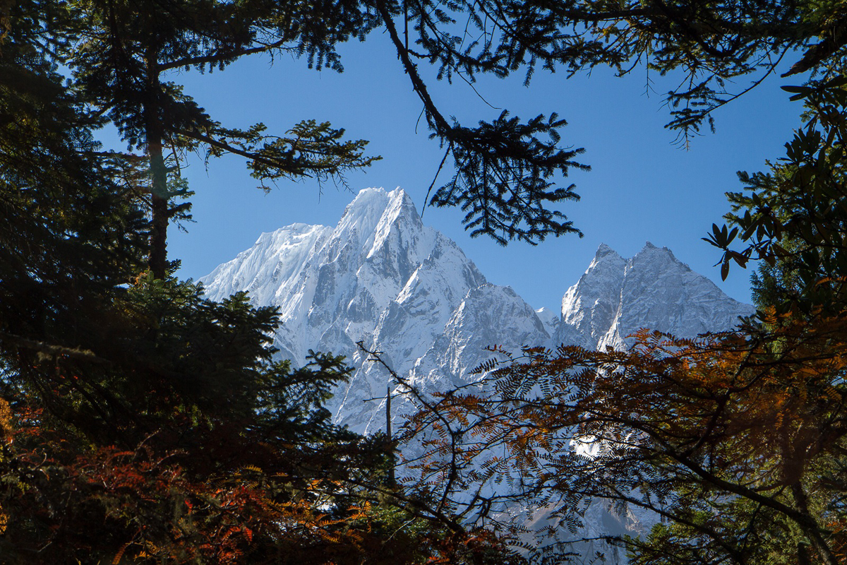
The Kanchenjunga regionThe giant of eastern Nepal, Kanchenjunga (8,586 m), the third-highest mountain in the world, is the dominant force in a high-mountain region that is less travelled but rivals the beauty of the Annapurna. Head east to explore the unique lifestyle and culture of diverse ethnic groups like the Limbus, the Sherpas and the Tibetans. Bordering Tibet in the North and Sikkim in the East, the Kanchenjunga region is home to rhododendron forests that burst into colour in the spring (34 species are recorded in the region). During the three weeks, we hike and bivouac in the magical silence of this remarkable wilderness at high altitude. From all sides, the peaks majestically rise to the sky: Kanchenjunga, Jannu (7,710 m), Sobithongie (6,670 m), Phole Peak (6,645 m), Khabur (6,332 m) and many more! A thrilling trek in the remote far eastern Nepal!
HIGHLIGHTS
- North Base Camp of Kanchenjunga and view of the imposing North Face of Jannu (Kumbhakarna).
- Discovery of a little-known, wild region.
- Discovery of villages and culture of the Limbu ethnic group.
Itinerary
For your next trek with us in the Himalayas, travel light and aware: Base Camp offers you a biodegradable soap made in Nepal, to leave no trace ...
Free time and night at the hotel in BB
- Accommodation: Holy Himalaya Hotel or Yukhang on BB basis
- Accommodation: Holy Himalaya Hotel or Yukhang on BB ,basis
In a privatized local jeep, we go up through the tea plantations of Ilam
- Accommodation: Hotel
We begin our trek to Lamatar with a short walk
- 9 hours drive
- 1h30 trek
- Accommodation: Lodge
- Full board
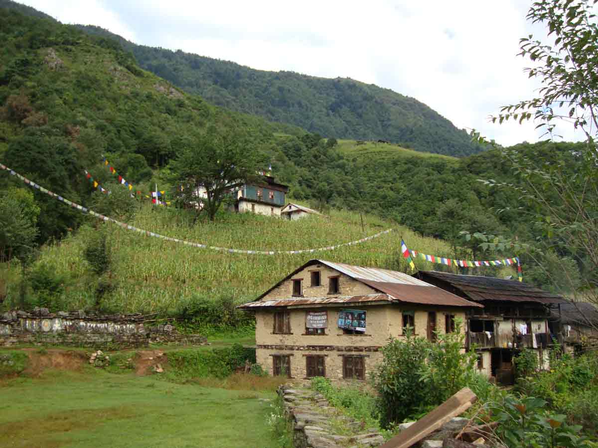
Then an hour of gradual climb up the hillside and a short descent take us to Thangyan, a Sherpa hamlet located at 2350 m.
- Elevation gain: 1050 meters
- Elevation minus: 240 meters
- Number of hours of walking: 6 h
- Accommodation: homestay (rustic)
It will take us about 1 hour and 30 minutes to walk (including 30 minutes on stairs) through a bamboo and rhododendron forest to arrive at Gyabla, a Sherpa village where we have lunch. In the afternoon, a gradual climb through a mixed forest to Phole, a village of around 30 Tibetan refugee houses which houses a carpet-making workshop, a school maintained by an American and monasteries.
- Elevation gain: 1400 meters
- Elevation minus: 580 meters
- Number of hours of walking: 6-7 hours
- Accommodation: Decent lodge
- Full board
- Elevation gain: 250 meters
- Height difference less: 50 meters
- Number of hours of walking: 1h30
- Accommodation: Lodge
- Full board
- Accommodation: Lodge
- Full board
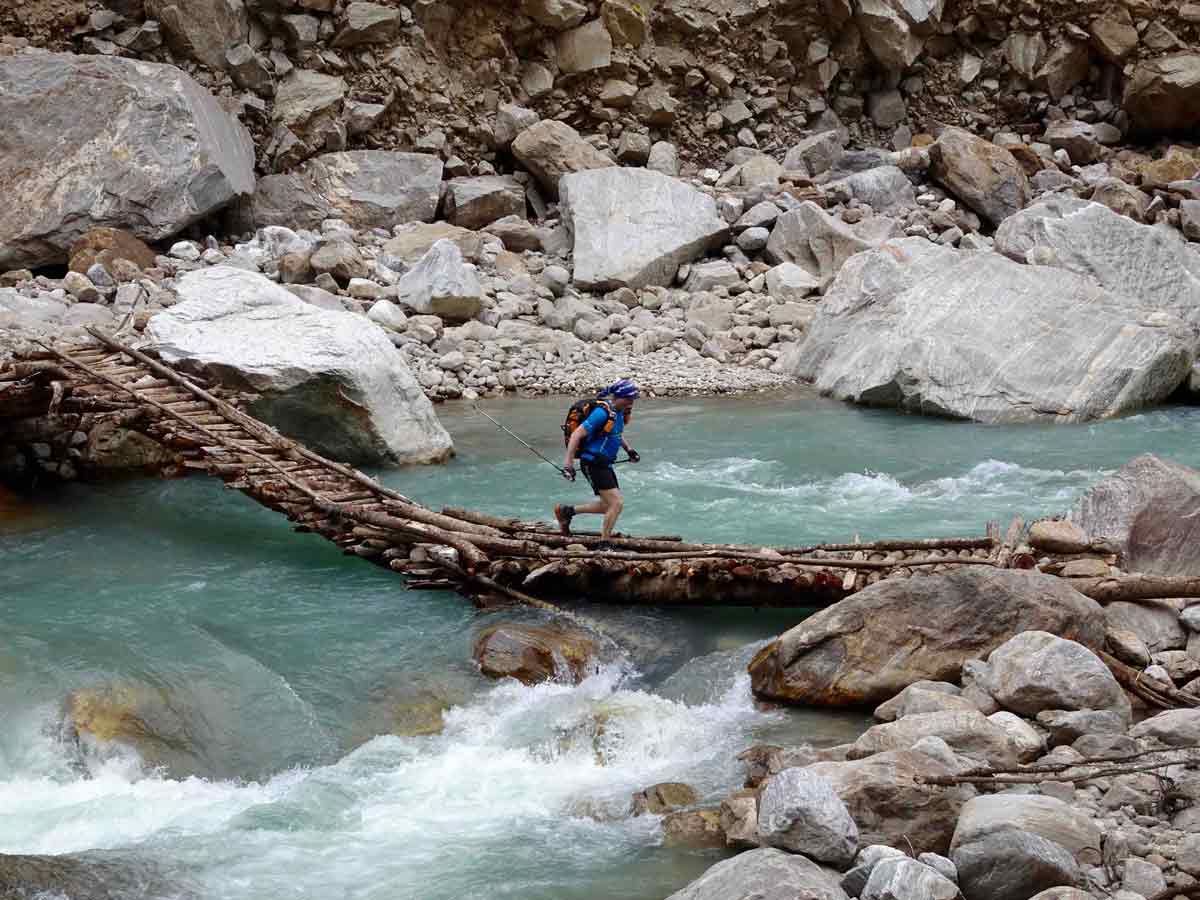
In the morning we progress through a forest of junipers, birches and thorns; we cross the river by a wooden bridge and have to cross some delicate passages in landslides. Lunch at the camp near the Yak sheepfolds. View of Sarphu and the Jannu cirque: Jannu (7710 m), Sobithongie (6670 m), PholePeak (6645 m) and Khabur (6332 m)
- Elevation gain: 1000 meters
- Elevation minus: 350 meters
- Number of hours of walking: 6 hours
- Accommodation: Lodge
- Full board
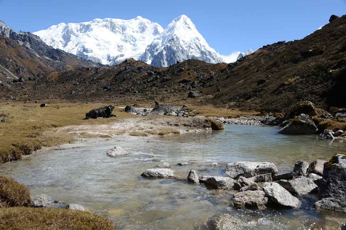
The climb is gradual, with some difficult passages through landslides, up to the ancient dry lake of Lhonak. After 2 hours of walking, we have lunch in the sheepfolds of Ramthang. Along the way, view of many mountains: Mera (6344 m), Ramthang (6700 m) over 6000 m. Camp in the pastures, view of the Sarphu massif, Mera (6344 m), Tinjung (6097 m), Pandra (6850 m), KirantChuli (7366 m), NepalPeak (6910 m), and many unnamed peaks. We are about fifteen kilometres from Tibet as the crow flies. From the camp, we will see mouflons and Tibetan partridges.
- Elevation gain: 700 meters
- Number of hours of walking: 5h30
- Accommodation: homestay (rustic)
- Elevation gain: 375 meters
- Elevation minus: 857 meters
- Number of hours of walking: 5-6 hours
- Accommodation: Lodge
- Full board
- Elevation minus: 650 meters
- Number of hours of walking: 6 hours
- Accommodation: lodge
- Full board
We walk for almost 2 hours steeply uphill in a rhododendron forest to the small pass of Tamo La (3940 m), a beautiful view of the Gunsa valley (villages of Phole and Gyabla). Then gradual climb to the camp via the Selele pass (4180 m). Beautiful view of Sarphu III (5865 m), Khabur, Bokton (6143 m), etc.
- Elevation gain: 900 meters
- Height difference less: 100 meters
- Number of hours of walking: 5 hours
- Accommodation: Lodge
- Full board
Difficult day with the passage of 3 passes: Sirion La (4450 m), Mirgin La (4455 m) and SirelapcheBhanjyang (4530 m). During the day, view of Sarphu, Jannu, Phole, Khabur, Bokton, and Lashar. Be careful, in the morning the sky can be blue and in the morning cloudy and snowing. The guide must provide food for the day or even for the night if we have to bivouac in the mountain if the weather and visibility do not allow us to descend. You must therefore bring a tent.
From the last pass, the descent is steep (3 hours) passing by JorPokhari Lake and crossing a juniper forest. View of the Kabrus and the Yalung Glacier.
- Elevation gain: 650 meters
- Height difference less: 1000 meters
- Number of hours of walking: 8 hours
- Accommodation: lodge
- Full board
- Elevation gain: 700 meters
- Number of hours of walking: 4 hours
- Accommodation: lodge
- Full board
A long day of walking awaits you. During these many hours, admire the Yalung Glacier, with a little luck, you may come across blue sheep on the way. After admiring the southern facade of Kanchenjunga. Beautiful gradual descent through a forest of rhododendrons and junipers along the Simbuwa River to go to Tortong for lunch.
- Elevation gain: 200 meters
- Elevation minus: 1800 meters
- Number of hours of walking: 7-8 hours
- Accommodation: lodge
- Full board
- Elevation minus: 1300 meters
- Number of hours of walking: 5-6 hours
- Accommodation: lodge
- Full board
After a short walk, you take the road by jeep to Taplejung then Ilam. This is the end of your trek in this remote region.
- Elevation gain: 420 meters
- Elevation minus: 2600 meters
- Number of hours of walking: 3 hours
- 6 hours drive
- Accommodation: Hotel
- Full board
Return transfer by the beautiful road to Téraï.
Flight to Kathmandu. Transfer to the hotel. Free day
- Accommodation: Holy Himalaya Hotel or Yukhang B&B
Free day and airport transfer for the return flight
NOTES
- In Kathmandu, we use hotels of good category *** well located in the center of Kathmandu.
- The stay in Kathmandu is always done in B&B to give you your choice of restaurants that offer you traditional and continental cuisine according to your choices.
- During the trek, you will be in full board and accommodation according to the itinerary.
- Walking times are approximate as they depend on groups, photos and stops. As for the elevation differences, they are also general indications and not GPS readings.
- Depending on weather and operational conditions, the guide reserves the right to modify this itinerary for your safety and that of the group.
What's included
- English-speaking Nepali Trekking Guide for the entire trek
- local team: Porter(s) and assistant guide depending on group size
- Staff insurance
- Carrying Luggage up to 12 kg/person during the trek.
- 3 nights at the Holy Himalaya Hotel in BB (in a single room)
- special permit Kanchenjunga, KCAP
- Full board trek in Lodge according to the program
What's not included
- Nepal visas
- International flight
- Mandatory repatriation and medical insurance
- Tips, personal expenses, drinks, sleeping bag etc.
Suppliments
Supplement per single room for 3 nights in a hotel: $105
* Flights Kathmandu – Bhadrapur – Kathmandu: $280 /participant: variation possible without notice
